Posts

Showing posts from 2021

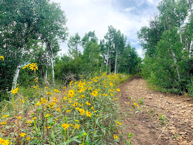
Hidden Oak to the Top of Snell Canyon

Image
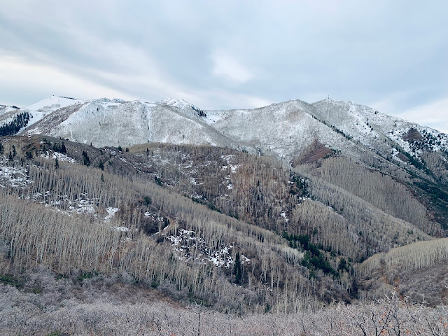
Matt, Rich, and two of Matt's stellar BYU exercise science students, Dillon and Hayden, started at the Dripping Rock Trail. I drove to the top of Fairway Drive to start on the dirt portion of the trail (and to give myself a head start).  Loafer, Santaquin, Tower Mountain from to top of Snell Canyon Looking west from the top of the steps just before dawn Rich, Dillon, Millie (the dog), Matt, and Hayden The sky changed colors as the sun was rising on the way up. This photo doesn't do justice. It was beautiful. Final Ascent to the Ridge (Rich) Overlooking Spanish Fork Canyon Catching our breath on top: Rich, Matt, Millie, Hayden, Dillon Matt is pointing out Santaquin Peak, Loafer Mountain, and Tower Mountain The last mile marker was 3 1/4, on the way down toward Water Canyon (Salem) Selfie on the way down: Rich, Me, Dillon, Matt Hayden

Water Canyon to Snell Canyon (Hidden Oak Trail)

Image
That first mile up Water Canyon is still a killer. We ran about 3.5 to a trail on the left that led to a beautiful overlook of Spanish Fork Canyon, then down a sketchy ravine to the Hidden Oak Trail.  It was wet and green. It did not feel like Utah during a severe drought. This was a fun adventure with three great runners and a dog: Matt, Garritt, Rich (my old high school teammate), and Millie (the dog).  Rich was ready for a new pair of shoes by the end of this run!

Tower Mountain (Water Canyon to Dixon Peak)

Image
This was a killer climb, and very rocky. 966 ft. in the first mile alone.  4,082 ft. overall elevation gain. The front of the mountain looks a little dry, especially during the current drought.  But by mile four, we were running through luscious green trees, and bushes with red berries and yellow flowers.  I was joined by Matt Seeley and Garritt Page. Garritt is the brother of Lalena Page, a former college teammate of mine. Matt and Garritt were mountain goats on the uphill. Pics below are out of order, but you can see exactly where they were taken on Strava . Coordinates to the trailhead: 40.039171596858544, -111.63391146714346